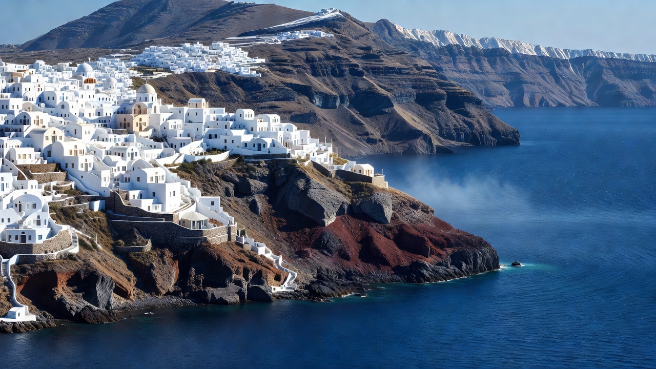
Geographic & Coastal Overview
The Aegean Sea represents one of the most structurally complex maritime basins in the Mediterranean region. Flanked by the Greek mainland to the north and west, Anatolia to the east, and Crete to the south, the Aegean contains more than two thousand islands and islets. This terrain is characterized by submerged continental crust, active volcanic belts, and deep marine trenches that drop steeply right offshore.
For coastal travellers, this geological profile results in extraordinary clarity of water alongside dramatic vertical landscapes. Unlike shallow sand-shelf seas, Aegean bays often transition rapidly into deep indigo depths, maintaining exceptional visibility and minimal suspended sediment. From the volcanic caldera precipices of Santorini and Milos to the wind-swept granite coves of Mykonos and Tinos, each island cluster presents an individual coastal typology.
Coastal Topography & Beach Formations
Beaches throughout the Aegean vary substantially based on their volcanic and metamorphic history. Rather than uniform golden sands, the region features distinct textural categories:
- Volcanic Basalt & Pumice Coves: Prevalent across Milos and Santorini, these shorelines display striking white lunar rock formations, black volcanic gravel, and ochre cliffs created by ancient pyroclastic flows.
- Pebble & Shingle Bays: Common in the North Aegean and parts of Crete, where steep mountain ridges meet the shore. Pebble beaches often boast the highest underwater visibility, ideal for coastal snorkeling and free-diving.
- Granite Sand Inlets: Characteristic of the Central Cyclades, where centuries of wind erosion have broken down coarse granite into pale, sheltered sand dunes.
The Meltemi Wind System: Timing & Sea Conditions
A primary factor when evaluating travel along the Aegean coast is the Meltemi (or Etesian) wind. This strong, dry northern wind blows across the Aegean during the summer months, typically reaching its peak intensity between late June and early September. While the Meltemi brings welcome relief from scorching Mediterranean heat and clears coastal haze, it creates substantial surface chop on north-facing beaches.
Travellers planning boat transfers, sea kayaking, or open-water swimming should note that southern-facing bays on most Aegean islands remain naturally sheltered from these conditions. Planning regional itineraries with alternative sheltered bays in reserve is standard practice for seasonal navigation.
Key Advantages
- Unsurpassed water clarity due to deep rocky sea basins.
- Extensive inter-island public ferry infrastructure.
- Consistent summer sun with minimal rainfall.
- Rich historical landmarks situated directly on coastal promontories.
Travel Considerations
- Strong seasonal Meltemi winds can delay small waterborne craft.
- Rocky approaches frequently require dedicated footwear.
- Steep cliffside settlements require significant stair climbing.
Transit & Access Realities
Access across the Aegean shoreline relies on a dual system of high-speed passenger catamarans and conventional vehicle ferries departing primarily from Piraeus, Rafina, and regional island hubs. While high-speed vessels reduce crossing durations, they are more sensitive to rough sea states. Conventional ferries offer superior stability in open waters and accessible open-deck observation areas.